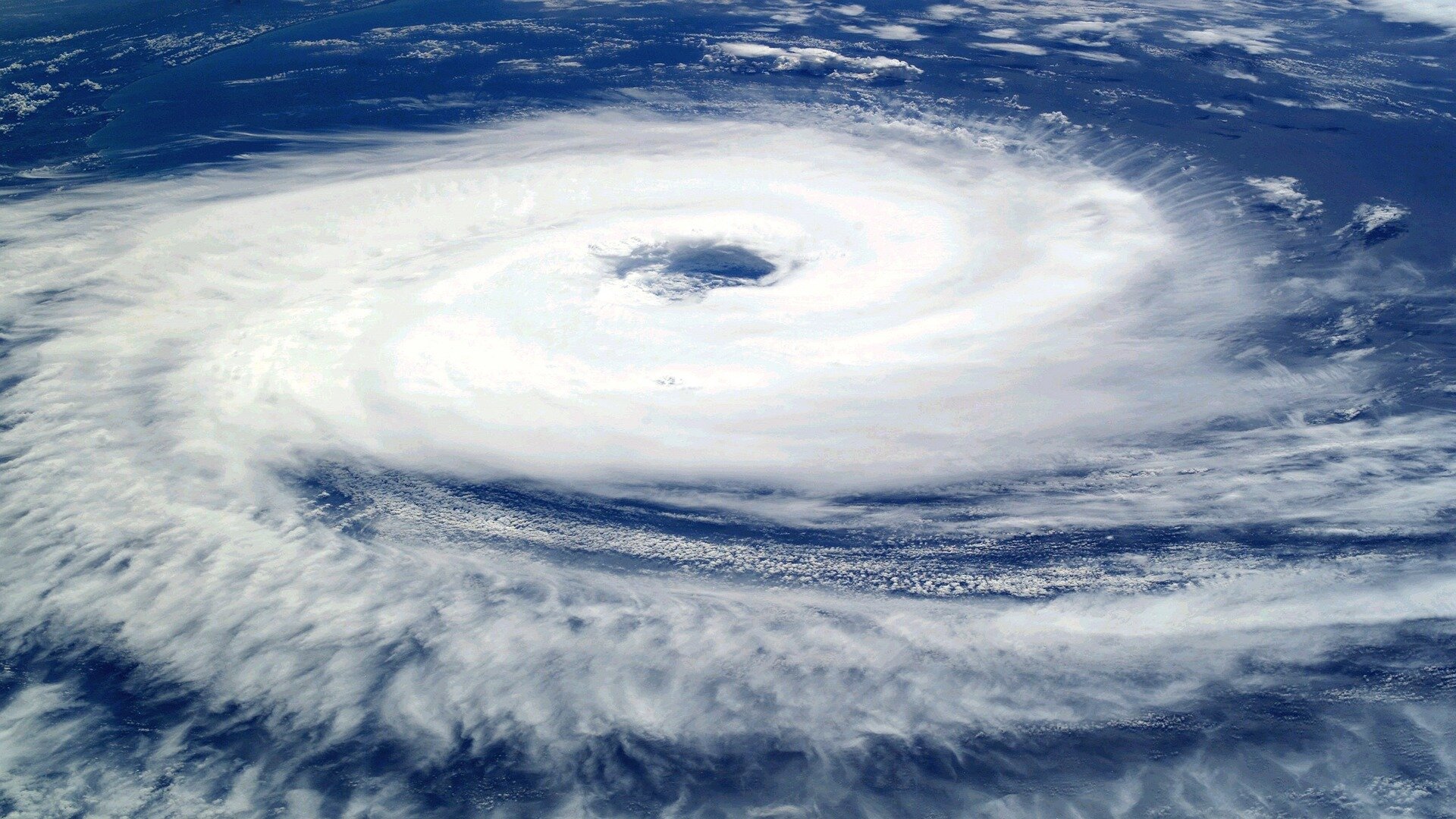
Hurricane Helene has devastated swaths of Southern Appalachia, pummeling cities from Newport, Tennessee, to Asheville, North Carolina.
Lives lost. Families displaced. Property destroyed. Scientists will study the storm for decades.
Many are asking: What made the weather so devastating this far inland? And what comes next?
Officials at East Tennessee State University, home to the State of Tennessee’s Climate Office, are addressing these questions.
Helene struck Florida as a Category 4 hurricane on Thursday, Sept. 26. But, the impact of Helene didn’t end at the coastline. As the powerful storm moved inland, havoc continued to unfold.
For Dr. Andrew Joyner, Tennessee’s official climatologist and an associate professor in the Department of Geosciences at ETSU, the storm is a “generational event.”
“The devastation is simply unreal,” said Joyner, who spent much of last week assessing damage in Greene and Washington counties. “This was really a terrible convergence of various factors.”
VGs"/>
1A6"/>
wPr"/>
Why was Hurricane Helene so devastating to our region?
Previous rain showers soaked the ground through parts of the Southeast, meaning saturated soil was far more likely to flood as Helene dumped heavy rain.
“That was a serious issue, and no doubt affected the severity of this storm in Southern Appalachia,” Joyner said.
Other issues in the region’s highest elevations played a decisive role.
In the days before Helene, a storm system swept the area and drew moisture all the way from the Gulf of Mexico. That meant peaks like Mount Mitchell, the highest east of the Mississippi River, were drenched.
Then came Helene, rising at a near-perfect angle over the mountains to ultimately intensify the rainfall, Joyner said.
The figures are staggering.
Some areas in the Southeast received a whopping 40 trillion gallons of water.
Having a difficult time fathoming that much water? You aren’t alone.
For perspective, that amount could fill up the Empire State Building an incredible 145,000 times.
Rain fell quickly at the upper reaches of three major watersheds: the Nolichucky, French Broad and Pigeon rivers. The result was a torrent of water and debris racing unusually fast down narrow channels and valleys.
Water has to go somewhere.
And the life-threatening flash flooding in Northeast Tennessee extended beyond the traditional “100-year” flood boundaries that weather officials use to depict flood vulnerability. In other words, flooding reached some locations for the first time in a century.
The streamflow rate, measured in cubic feet per second, dramatically exceeded records at gauges along many rivers, Joyner’s office reported. For instance, flooding completely destroyed the stream gauge in Embreeville, Tennessee, after reaching 19 feet and a discharge rate of 84,000. The average streamflow for early October: between 500–600.
Scenes that followed were surreal.
At the Nolichucky Dam in Greene County, officials at the Tennessee Valley Authority at one point issued a Condition Red—meaning a breach could have occurred, resulting in life-threatening flooding as far downstream as the Douglas Reservoir. Water flow at the Greeneville dam was twice the levels observed at the iconic Niagara Falls. Only a few miles away, floodwaters thrashed and severely damaged the intake pump, leaving county residents without water for days.
Before finally being rescued, dozens waited for hours atop the Unicoi County Hospital, watching helplessly as water rose to seemingly unimaginable heights.
As Joyner assessed the damages, he heard a consistent refrain from first responders.
“It’s the worst flooding they’ve ever seen, and these are responders who have been in other disaster environments,” he said.
More intense weather
Helene is the latest in a string of extreme weather events striking the region.
The region, traditionally known for its varied climate, is experiencing changes that point to an escalation in severe weather. Data collected by experts at ETSU indicate that instances of heavy rainfall, droughts and severe storms are becoming more frequent.
2023, for example, was Earth’s hottest year on record. At the Tri-Cities Airport, it was the second warmest year with data stretching back to the late 1940s.
“The region is not only getting warmer,” said Joyner, “but we are also seeing a rise in extreme weather, including flash flooding and rapid-onset droughts.
Video series
To help the public understand the magnitude and underlying causes of Hurricane Helene, ETSU is releasing a series of videos featuring Joyner. These videos will provide detailed explanations of why the storm was so severe, the science behind its path and impact and what it means for the region moving forward.
Provided by
East Tennessee State University
Citation:
Experts explain Hurricane Helene’s impact on Appalachia (2024, October 23)
retrieved 24 October 2024
from 7jU
This document is subject to copyright. Apart from any fair dealing for the purpose of private study or research, no
part may be reproduced without the written permission. The content is provided for information purposes only.
